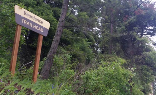
Hiking Trail: Broken Leg Divide Trail #353
The Broken Leg Divide trail is 2.8 miles long climbs about 520 feet. It begins at the junction with the Peterson Creek Trail #293 and ends at the junction with Echo-Brokenleg trail #544. The trail is open to: hiking, horseback riding, and mountain biking.
Usage is typically light, closest town is Bigfork.
Directions:
From Bigfork, go North on Highway 35 for 2.3 miles and turn right onto Highway 83. Stay on 83 for 2.8 miles and turn left onto Echo Lake Rd. After 2.2 miles, turn slightly right onto Foothill Rd. Continue for 1.1 miles and bear slight right following the Jewel Basin sign on to road 5392.
The trailhead is 1.8 miles up road 5392 on the right.
 190 pages packed with trailheads, camping spots, and local information around Flathead Lake.
Follow Mike on Instagram or subscribe to his YouTube Channel


 Flathead National Forest’s
  Website: