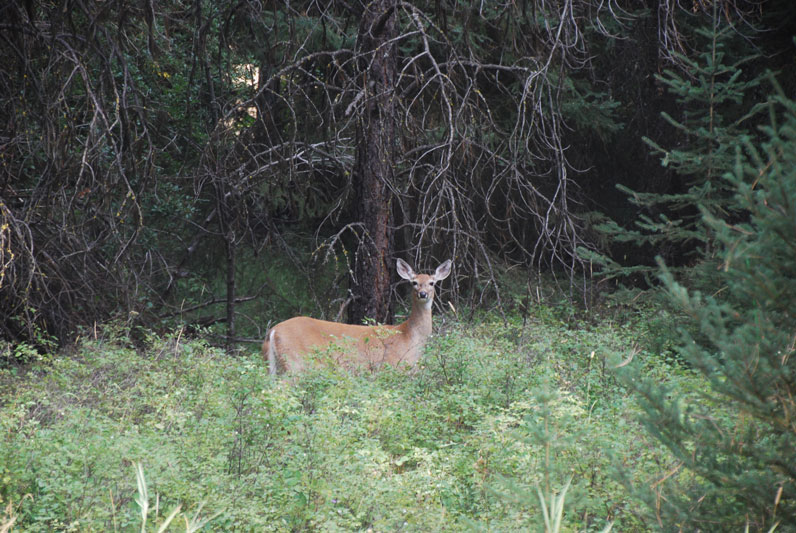
Mission Mountains Wilderness
Located in the Flathead National Forest in Montana.
The Mission Mountains Wilderness is on the Swan Lake Ranger District of the Flathead National Forest in northwestern Montana. The Forest Service manages it as part of the National Forest System. Officially classified as Wilderness on January 4, 1975, the 73,877 acre area is managed in accordance with the Wilderness Act of 1964. The Mission Mountains run along the east shore of Montana’s Flathead Lake.
 When to Visit – Most people visit the wilderness between July 1 and October 1. Snow-filled passes and high streams make earlier travel difficult and hazardous. High lakes do not open up until early or mid-June.
June is normally a wet month. Snow still covers high, shaded basins and surrounds trees.
July, August, and early September are dry months. Daytime temperatures are the 80-90 degree range. Showers are frequent. Nights are very cool. Snow occur at any time. Heavy snow generally occurs in late October and early November.
 If you are a skier or winter camper, late February through May provide the best snow conditions and longer days. When planning an extended backcountry trip, be informed of potential avalanche conditions.
Trails – There are about 45 miles of maintained Forest Service system trails in the Mission Mountains. Most trails are better suited to hiking than horseback riding because of rugged terrain.
Travel is primarily by foot with some horseback use. Mountain bikes, hang gliders, motorized trail bikes, motorcycles, three and four wheelers, and snowmobiles are not permitted. Few of the trails can be called easy. Some are especially difficult because of steepness. You should be an experienced hiker to travel cross country and should possess map reading and compass skills.
Throughout the Mission Mountains you will find old Indian and packer trails. These are usually steep and difficult to follow. They are suitable for only the most experienced horse users or backpackers.
 Access Points – The major access points into the Mission Mountains Wilderness from the Swan Valley: Glacier Creek, Cold Lakes, Piper Creek, Fatty Creek, and Beaver Creek. Other access points from the Swan Valley include Lindbergh Lake (south end trail reached by boat), Jim Lakes, Hemlock Creek, Meadow Lake, and Elk Point.
There are also three major access points from the Salish & Kootenai Indian Reservation side of the Mission Mountains. Access through tribal lands requires a permit. These permits may be purchased at major sporting goods stores in Missoula and the Mission Valley or through the Confederated Salish and Kootenai Tribal Recreation Department in Pablo, Montana, phone (406) 675-2700.
A major portion of the Mission Mountains is suitable for backpacking only. Travel is strenuous, but it has many advantages: independence and self-sufficiency, opportunities for solitude, and you’re more carefree when backpacking.
DAY HIKES: The Mission Mountains has several hikes ranging from 1 1/4 miles to 6 miles (one way) which can be completed in a day. You will carry less on your back and travel more easily.
BACKPACKING: Backpacking requires careful planning. Proper equipment, with maximum utility and minimum weight, will make the trip easier. The most important items will be your pack, sleeping bag, and foot gear. Take only what you need. A pack that is too heavy can spoil your trip. A pack without adequate food, clothing and shelter can be equally disappointing and unpleasant.
The Go Hike With Mike trail guide contains most every trailhead along the Swan front of the Mission Mountains.
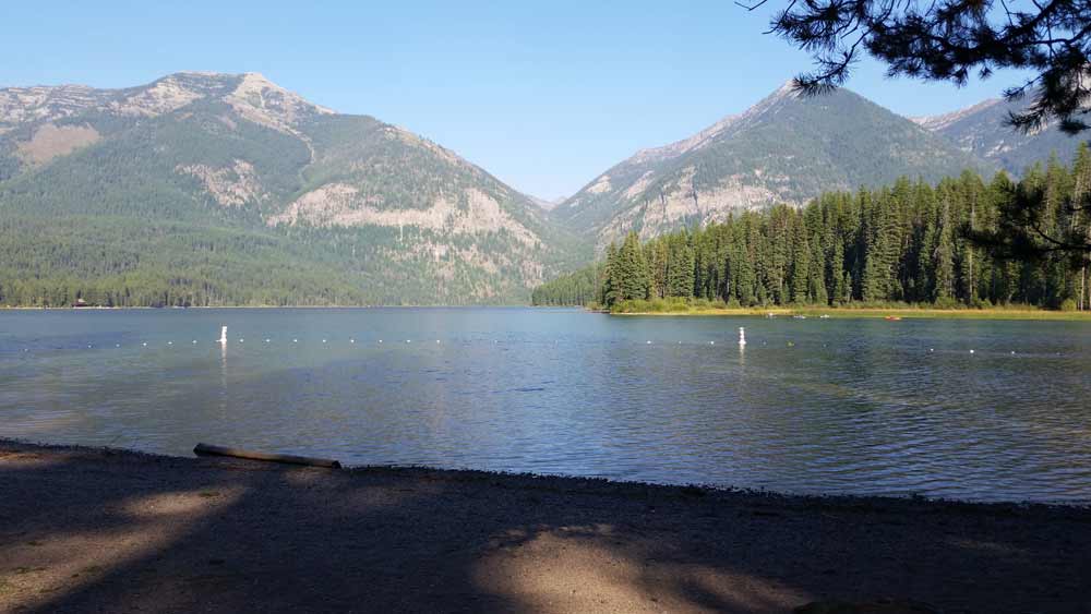
Looking west at Flathead Lake from Yellowbay State Park.
Follow Mike on Instagram or subscribe to his YouTube Channel
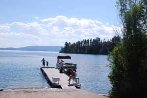 These are all Flathead Lake Videos. There are thirteen public access sites around the lake. These sites include: Sportsman’s Bridge, Somers,
  A picnic area provides day use visitors with the opportunity to enjoy a peaceful lunch, and there are day hiking opportunities near Bowman Lake for hikers eager to experience Glacier’s wilderness. Fisherman, canoers, and kayakers will enjoy the recreational opportunities Bowman Lake offers.
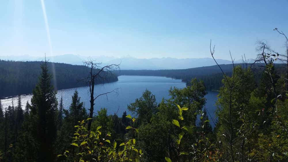
 Glacier National Park is named for the glaciers that produced its landscape. A glacier is a moving mass of snow and ice. It forms when more snow falls each winter than melts in the summer. The snow accumulates and presses the layers below it into ice. The bottom layer of ice becomes flexible and therefore allows the glacier to move. As it moves, a glacier picks up rock and gravel. With this mixture of debris, it scours and sculptures the land it moves across. This is how, over thousands of years, Glacier National Park got all its valleys, sharp mountain peaks, and lakes. There are more than 50 glaciers in the park today, though they are smaller than the huge ones that existed 20,000 years ago.
 The park is unique among US parks in its relationship with the Waterton Lakes National Park in Alberta, Canada. The two parks meet at the border shared by the two countries. Though administered by separate countries, the parks are cooperatively managed in recognition that wild plants and animals ignore political boundaries and claim the natural and cultural resources on both sides of the border. In 1932, the parks were designated the first International Peace Park in recognition of the bonds of peace and friendship between the two nations. The two parks jointly share the name The Waterton-Glacier International Peace Park. Then, in 1995, The Waterton-Glacier International Peace Park was designated for inclusion as a World Heritage Site.
 Recent archaeological surveys have found evidence of human use dating back over 10,000 years. These people may have been the ancestors of tribes that live in the area today. By the time the first European explorers came to this region, several different tribes inhabited the area. The Blackfeet Indians controlled the vast prairies east of the mountains. The Salish and Kootenai Indians lived and hunted in the western valleys. They also traveled east of the mountains to hunt buffalo.
 The construction of the Going-to-the-Sun Road was a huge undertaking. Even today, visitors to the park marvel at how such a road could have been built. The final section of the Going-to-the-Sun Road, over Logan Pass, was completed in 1932 after 11 years of work. The road is considered an engineering feat and is a National Historic Landmark. It is one of the most scenic roads in North America. The construction of the road forever changed the way visitors would experience Glacier National Park. Future visitors would drive over sections of the park that previously had taken days of horseback riding to see.
 Website: