The Cedar Lake Trail is 7.9 miles long. It begins at end of Road #10381 (seasonally open from 6/15-3/31) and ends at the junction with the Piper Creek trail #119 which continues to Piper Lake.
The whole trail from portal to portal is 13 miles and climbs up to 6880 feet in elevation. Most of this trail is in Wilderness and so is open for the following uses: hiking and horseback riding.
Cedar Lake Trail
Click Here for Flathead National Forest Trail Map and Directions
Follow Mike on Instagram or subscribe to his YouTube Channel
#gohikewithmike
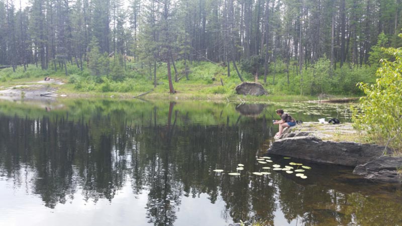
Cedar Lake Trail in Montana is a scenic and challenging hiking route located in the Mission Mountains Wilderness near Polson. This 7.9-mile trail leads hikers through dense pine forests, past unnamed lakes, and up switchbacks before reaching Cedar Lake, a stunning alpine lake surrounded by rugged terrain.
The trail gains 1,910 feet in elevation, making it a moderately difficult hike, and is known for its wildflowers, wildlife, and breathtaking views. Hikers should be prepared for grizzly and black bear territory, so carrying bear spray is highly recommended.
Cedar Lake Trail near Bigfork, Montana, is a challenging yet rewarding hike in the Mission Mountains Wilderness. This 7.9-mile out-and-back trail features 1,910 feet of elevation gain and takes around 4 to 6 hours to complete.
The trail begins at the end of Forest Service Road #10381, which is seasonally open from June 15 to March 31. The route winds through dense pine forests, past unnamed lakes, and up steep switchbacks before reaching Cedar Lake, a stunning alpine lake surrounded by rugged terrain.
Hikers should be prepared for grizzly and black bear territory, so carrying bear spray is highly recommended. The trail is known for its wildflowers, wildlife, and breathtaking views, but it can be overgrown in some sections.


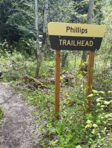 Hike Flathead Lake on Phillips Trail #373. Phillips Trail #373 is 3.8 miles long and climbs about 600 feet; it intersects with Crane Mtn Road #498 and the
 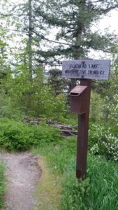 This short, family friendly 0.4 mile loop interpretive Flathead Lake trail. The short but steep distance down to excellent view of Flathead Lake and the western skyline. This trail was developed in partnership with the Bigfork High School.
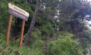 The Flathead Lake Bear Dance Trail is 6.7 miles long and climbs about 2,200 feet. It begins off of Highway # 35 from the Beardance Trailhead and follows Forest Road #10222 and terminates at Crane Mountain Road #498. The trail is open to: hiking, horseback riding, and mountain biking.
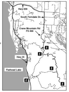 Directions: From Bigfork go south on Highway 35 past Woods Bay and turn right after mile marker 23, entering the Beardance trailhead parking. The trailhead is on the east side of the highway.
 Website: