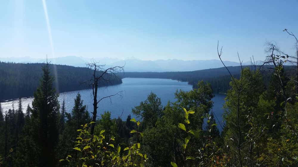
 The Holland Lake Campground is located seven miles south of Condon, Montana and 20 miles north of Seeley Lake, Montana off Montana Highway 83. From Highway 83 turn east on the Holland Lake Road and travel three and 1/2 miles east to the Y-intersection with the Owl Creek Loop Road. Follow Holland Lake Road to the left and the entrances to the group site and campground are a short distance down the road.
Restrictions: 16 day stay limit. Food storage required for human and stock food, garbage, and other attractants. | Closest Towns: Condon, MT – 9 miles.
Potable Water is available. Restroom includes a flush toilet as well as a vault toilet
 Passes: $30 season pass for day use is available through the concessionaire. This pass can be used at all campgrounds with day use fees on the Flathead National Forest under concession contract. This campground is operated by Flathead Valley Campgrounds, Barta Enterprises, 406-646-1012
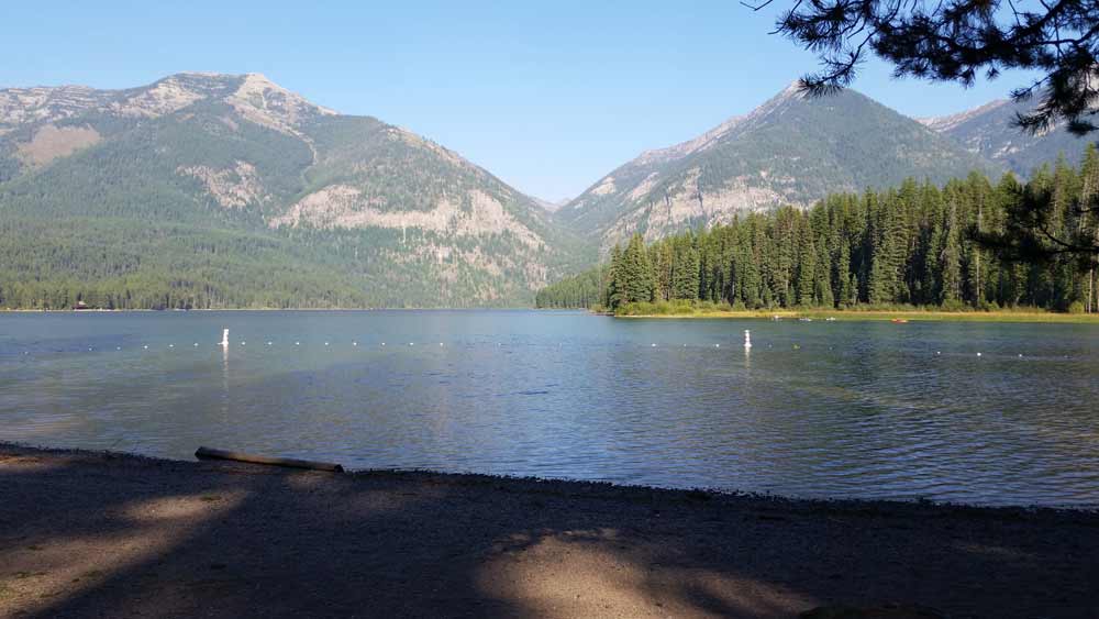
Directions: From Highway 83 turn east onto Holland Lake Road #44 near mile marker 35. Follow this road about 3 miles. There are two loops, first the Bay Loop then the Larch Loop. The Campground host is located in the Larch Loop.
Activities include cabins and campground camping. There are 40 campsites, 50 foot maximum trailer length.
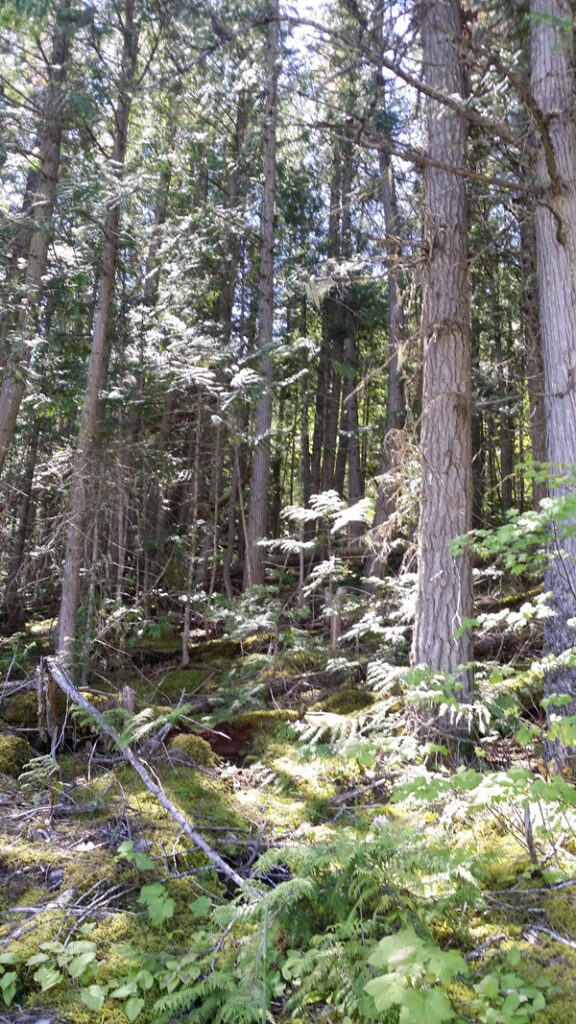
 Murray Bay Campground is located high in the Rocky Mountains, less than
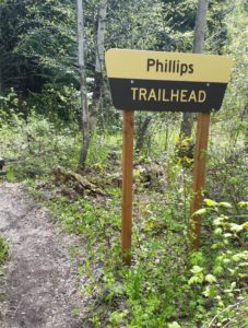 Hike Flathead Lake on Phillips Trail #373. Phillips Trail #373 is 3.8 miles long and climbs about 600 feet; it intersects with Crane Mtn Road #498 and the
 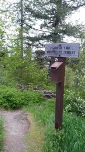 This short, family friendly 0.4 mile loop interpretive Flathead Lake trail. The short but steep distance down to excellent view of Flathead Lake and the western skyline. This trail was developed in partnership with the Bigfork High School.
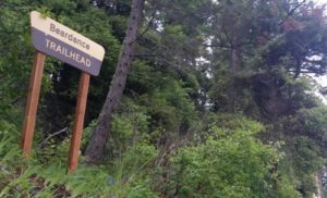 The Flathead Lake Bear Dance Trail is 6.7 miles long and climbs about 2,200 feet. It begins off of Highway # 35 from the Beardance Trailhead and follows Forest Road #10222 and terminates at Crane Mountain Road #498. The trail is open to: hiking, horseback riding, and mountain biking.
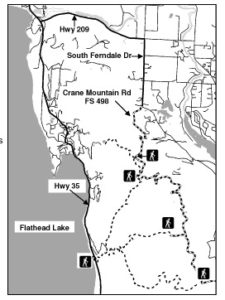 Directions: From Bigfork go south on Highway 35 past Woods Bay and turn right after mile marker 23, entering the Beardance trailhead parking. The trailhead is on the east side of the highway.
 Website: