
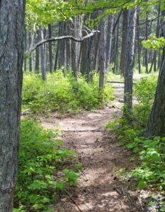
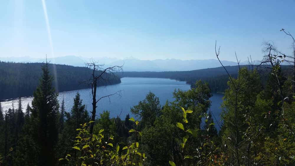
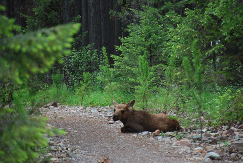
Trails around Flathead Lake. There are many trails around Flathead lake. Here are four trails that are easily accessible. The Flathead Lake Trail is by far the easiest hike. It is a short half mile loop interpretive trail hike. The short but steep distance down to excellent view of Flathead Lake and the western skyline. This trail was developed in partnership with the Bigfork High School.
Directions: From Bigfork, go south on Highway 35 past Woods Bay, and turn right after mile marker 23, entering the Beardance trailhead parking. The trail goes downhill from both parking areas, creating a loop.
If you are looking for something a bit more difficult, cross the road to the Bear Dance Trail. The Bear Dance trail and the Flathead Lake Trail share the same parking lot.
BEARDANCE TRAIL #76
The Beardance Trail is 6.7 miles long and climbs about 2,200 feet. It begins off of Highway # 35 from the Beardance Trailhead and follows Forest Road #10222 and terminates at Crane Mountain Road #498. This trail has been re-routed in the last year and no longer follows the old Forest Service Road #9755. The trail is open to: hiking, horseback riding, and mountain biking.
Usage: Heavy | Closest Towns: Bigfork
Directions: From Bigfork go south on Highway 35 past Woods Bay and turn right after mile marker 23, entering the Beardance trailhead parking. The trailhead is on the east side of the highway.
Season: These trails are typically snow free by April.
Regulations: Hiking, horse riding and mountain biking are allowed on these trails. Motorized vehicles, including motorcycles are prohibited.
Area/Length : 6.7 miles
Latitude : 47.95678
Longitude : -114.03442
Elevation : 3,071 feet – 5,309 feet
Beardance Area: Trails #76, 373, and 314
Directions: From Bigfork go south on Highway 35 past Woods Bay and turn right after mile marker 23, entering the Beardance trailhead parking. The trailhead is on the east side of the highway.
Trail Description:
The Phillips Trail 373 leaves from the Beardance parking lot and climbs moderately, enjoy a nice viewpoint of Flathead Lake, then continues to climb through the trees and finally crosses two creeks and then descends to the road.
The Crane Mountain Trail 314 climbs up switchbacks in the shade of a dense forest and follows Crane Creek up to the junction with an old road. Once you reach the old road, the grade levels off for an easy hike to the upper trailhead.
The Beardance Trail 76 starts climbing up switchbacks then continue to climb up through a forested area to the trailhead on Crane Mountain Rd.
The Go Hike with Mike trail guide contains most every trail head in the Flathead and Kootenai Forest as well as the Mission Mountain Tribal Wilderness, including this campground. Click here to purchase your copy.
 The Go Hike with Mike Trail Guide contains most every trail head around Flathead Lake. The guide includes trails as far north as Polebridge.
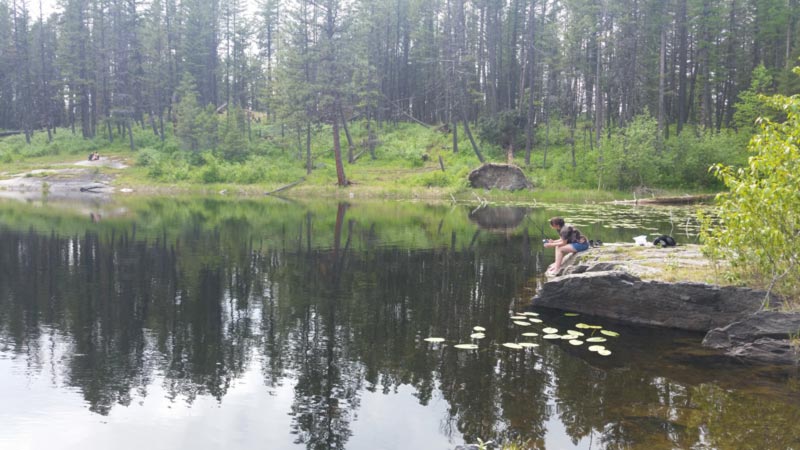
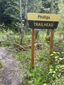 Hike Flathead Lake on Phillips Trail #373. Phillips Trail #373 is 3.8 miles long and climbs about 600 feet; it intersects with Crane Mtn Road #498 and the
  This short, family friendly 0.4 mile loop interpretive Flathead Lake trail. The short but steep distance down to excellent view of Flathead Lake and the western skyline. This trail was developed in partnership with the Bigfork High School.
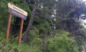 The Flathead Lake Bear Dance Trail is 6.7 miles long and climbs about 2,200 feet. It begins off of Highway # 35 from the Beardance Trailhead and follows Forest Road #10222 and terminates at Crane Mountain Road #498. The trail is open to: hiking, horseback riding, and mountain biking.
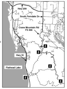 Directions: From Bigfork go south on Highway 35 past Woods Bay and turn right after mile marker 23, entering the Beardance trailhead parking. The trailhead is on the east side of the highway.
 Website: